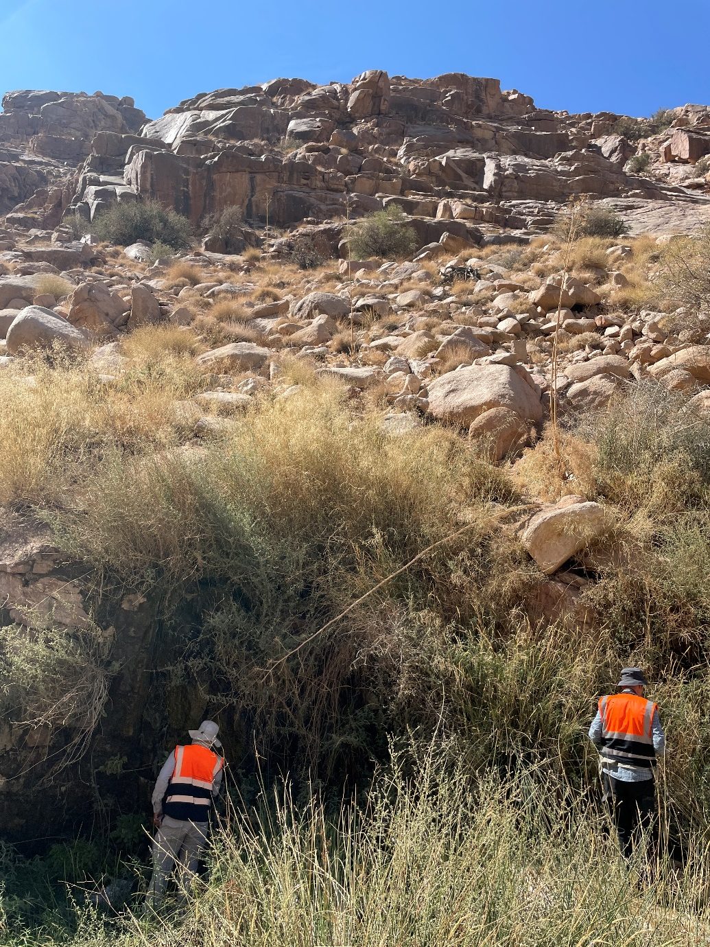
Environmental Data Capture and Survey
We leverage our local experience and efficient fieldwork to produce high quality primary data and surveys.
Water and Sediment Monitoring
Aquageo are equipped to perform water monitoring in marine, surface water and groundwater environments. We also perform sediment monitoring to understand potential hydrodynamic impacts and contamination potential. This monitoring helps to valuate compliance with environmental regulations, and assessing the health of aquatic habitats. It is integral for informed decision-making to ensure sustainable water resource management and ecosystem conditions.
Marine and Terrestrial Ecology
The marine and terrestrial ecologies of the MENA region are highly specialized. We routinely team up with our academic partners at KAUST in Saudi Arabia to produce studies that focused on the complex interactions between organisms and their environment in both aquatic and land ecosystems. Understanding these ecological dynamics is fundamental in biodiversity conservation and natural resource management during a period of rapid development for the region. Our work helps mitigate human impacts, conserve habitats, and maintain ecosystem services that are vital for economic development and well-being.
Groundwater Use and Hydro-Ecology
Groundwater is an important resource, especially in arid regions, where surface water is most often scarce and unreliable. Aquageo staff have worked in the Middle East for over a decade and have developed an intimate knowledge of issues specific to the region. Limited natural recharge often leads to over exploitation and unsustainable groundwater use. In most arid regions like in the Middle East and North Africa groundwater is considered a fossil resource in risk of depletion if not properly managed. We work with clients to quantify the reserves of groundwater remaining, and key interventions to mitigate or even reverse depletion.
Many rare species of flora and fauna have developed in groundwater-dependent ecosystems of the Middle East, and may be threatened by falling groundwater levels. To protect these vital habitats and avoid ecosystem degradation, we help our clients enact conservation efforts to preserve these valuable ecosystems.
Geospatial Analysis/GIS
Geospatial Analysis, powered by Geographic Information Systems (GIS), is a potent tool used to analyse, interpret and manipulate geographic data. Through visualizing geographic information insights into patterns, relationships and trends can be gained. Large data set can be easily assessed and analysed to help identify issues and data gaps. GIS is widely used in various fields, including geography, environmental science, urban planning, agriculture, and natural/water resources management. Integrating spatial data into policy-making and operational decisions leads to more efficient resource management and better outcomes for community developments and environmental initiatives.
